


DUC and the ABMI collaborate to produce the next generation of wetland maps for Alberta
June 17, 2020
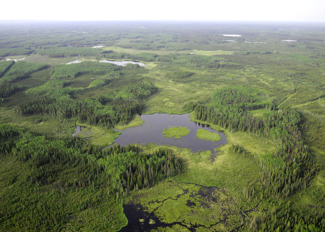
Accurate and comprehensive wetland maps are critical to all parties — be they government, Indigenous communities, or industry — involved in land-use planning, water quality management, flood and drought control strategies, biodiversity management and policy implementation, and monitoring. Currently in Alberta, however, there are multiple wetland mapping systems and concerns around how these maps work to support wetland stewardship.
That’s why we, DUC and the Alberta Biodiversity Monitoring Institute (ABMI), are pleased to announce our collaboration to produce the next generation of wetland maps for Alberta. By combining our wetland inventory and data science capacities, we aim to produce a science-based, seamless wetland map for all of Alberta over the next three years. With recent advances in machine and deep-learning and the availability of earth observation data, now is the time to create a new vision around what wetland maps can be and how they can be used. Read our full joint statement about the collaboration.