
Products
GIS and Remote Sensing
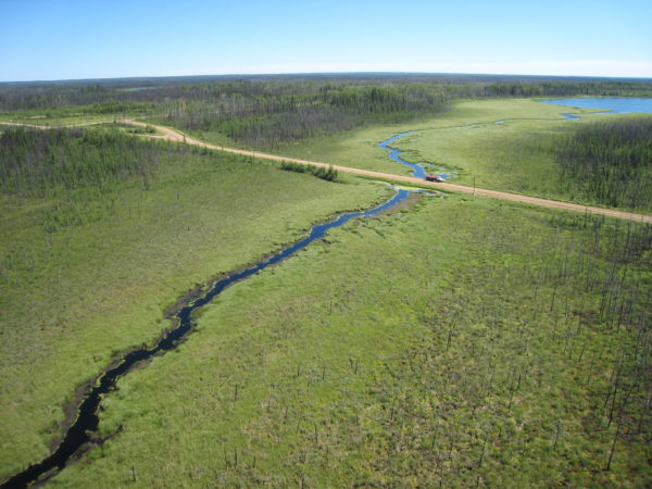
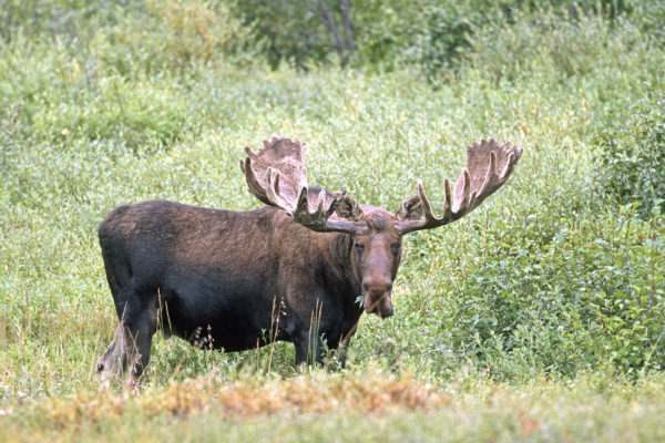
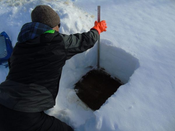
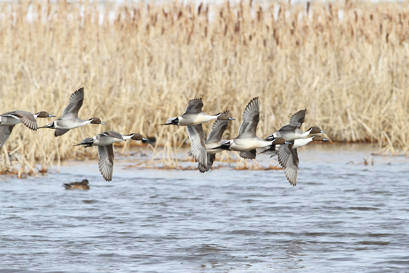
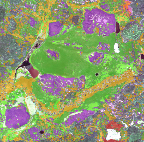
Geographic knowledge plays a role in nearly every decision we make at Ducks Unlimited Canada. Choosing project locations, targeting marketing strategies, studying waterfowl movements, tracking landscape changes – all of these activities involve questions of geography. With the integration of digital mapping, Global Positioning Systems (GPS), remote sensing, geographic analysis and location-based applications, GIS has become a valuable conservation tool. Products available include:
- Wetland inventory mapping
- Enhanced Wetland Classification (EWC) map products
- Carbon storage values
- Caribou habitat preference
- Biodiversity tool
- Waterfowl modelling
- Spatial targeting