Ducks Unlimited Canada
National Boreal Program
10525 170 St NW Suite 300
Edmonton, Alberta, Canada
T5P 4W2

Ducks Unlimited Canada
National Boreal Program
10525 170 St NW Suite 300
Edmonton, Alberta, Canada
T5P 4W2


Enhanced Wetland Classifications (EWC) of the western Canadian boreal region.
Are you operating or planning to operate in an area of the western boreal region with abundant wetlands? Are you in need of wetland data to support sustainable land-use decisions or other conservation initiatives? The Enhanced Wetland Classification can help.
Through our GIS and Remote Sensing services, DUC has mapped and inventoried large areas of the Canadian Western Boreal region in collaboration with our partners. Many EWC inventories have already been completed, information can be requested below and data may be provided in the future under varying data use or licensing agreements.
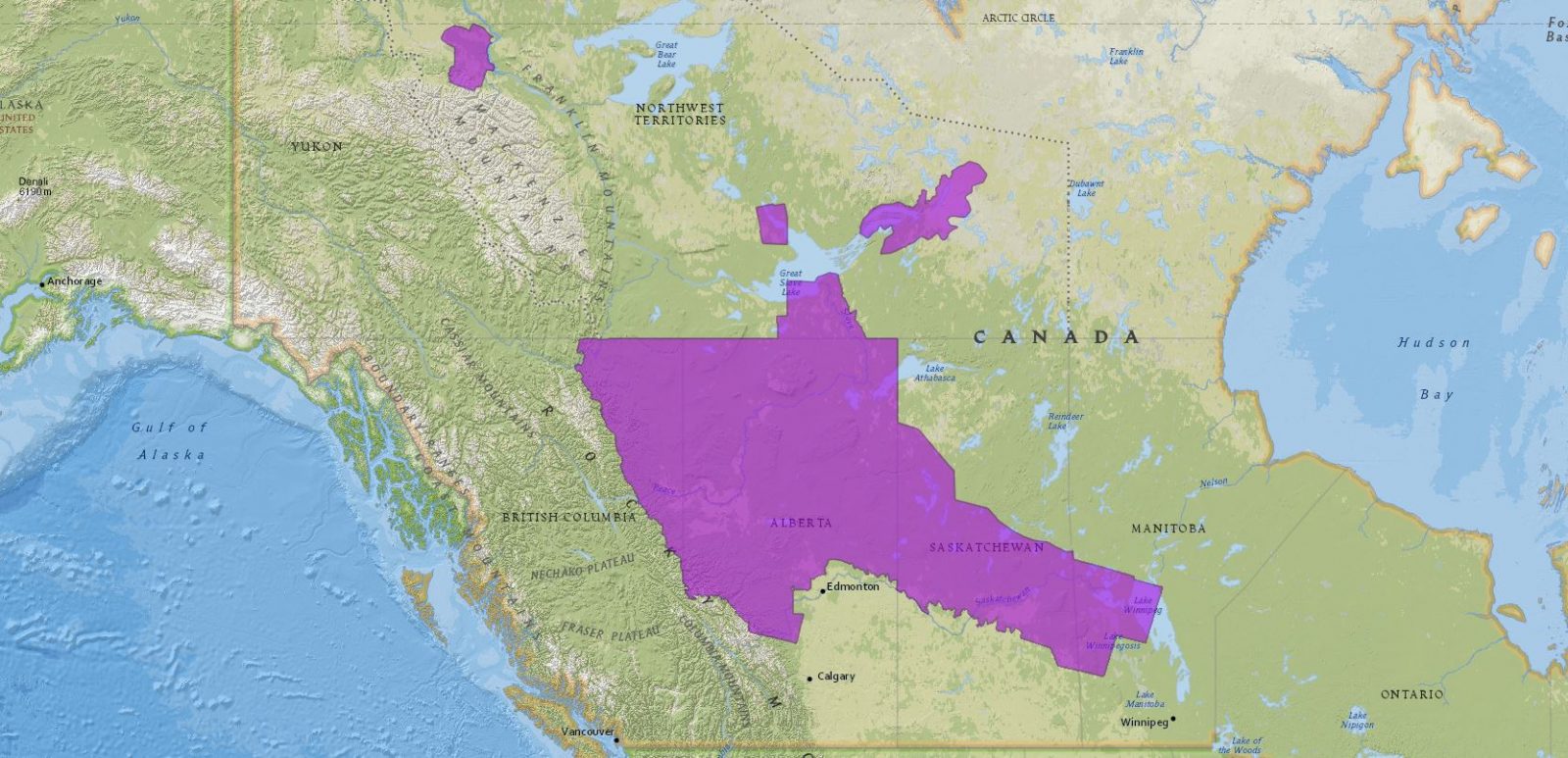
The map below shows all completed EWC mapped areas in Canada’s Western boreal region. Click the map image below to zoom into a specific area.
To request information on EWC maps and products click the button below and complete the form on the following page.