


Wetland Best Management Practices Webinar Series
Topic: Status of Ducks Unlimited Canada’s Enhanced Wetland Classification (EWC) Inventory and Case Study of the Akaitcho Wetland Mapping Project
Presenter: Michael Merchant, Ducks Unlimited Canada
Date: June 13th, 2017
Time: 12:00-1:00MST
Register here!
This webinar is free of charge and log in information will be provided on your ticket via email following registration.
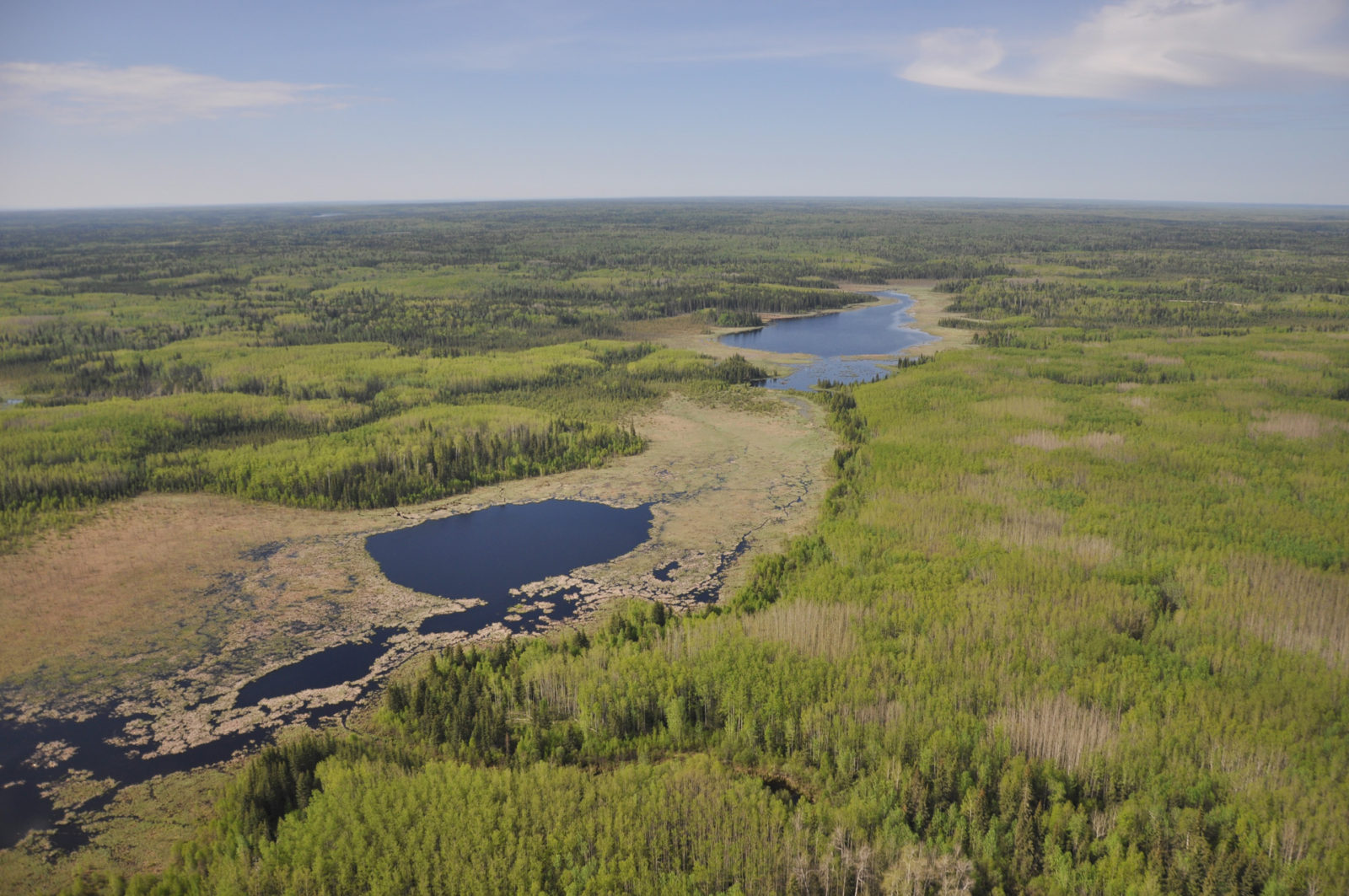
Ducks Unlimited Canada (DUC) has been leading the effort to provide detailed and accurate wetland maps for large areas of the western boreal forest. To date, nearly 200 million acres of wetlands from numerous projects have been mapped to DUC’s Enhanced Wetland Classification (EWC) standards. These wetland classifications also meet the Canadian Wetland Inventory (CWI) standards. EWC inventory is based on satellite imagery as well as helicopter-based field data collected for each project. The final result is a raster dataset detailing 19 boreal wetland classes. To continue these efforts, DUC has recently initiated wetland mapping for a large portion of the Akaitcho Traditional Territory in the Northwest Territories (NWT). The objective for this project is to provide a 77 million acre (31 million hectare) wetland mapping product for this region that will be used to support land use planning activities. Methods for this 2-year mapping initiative (which commenced in December 2016) include cataloguing, pre-processing and object-based classification of various sources of satellite imagery. A field data collection campaign is planned for summer 2017, however a collection of field sites have already been identified using image interpretation of high resolution imagery. Current results for this project include a baseline wetland extent classification (e.g. water vs. upland vs. wetland). Upcoming collection of helicopter based field sites will support both EWC and 5 major wetland class (Canadian Wetland Classification System; bog, fen, marsh, swamp and open water) identification of wetlands.
The Wetland BMP Knowledge Exchange is a venue for sharing boreal wetland best management practices information with the goal of raising awareness, increasing information transfer, and fostering collaboration amongst industry, government, and other interested stakeholders. For more information, visit our website or contact us at wbf_bmp@ducks.ca.